Overview Open Data
You can access the following freely available data:
- Geoportal Thüringen: Information from the official real estate cadastre information system (ALKIS), aerial photographs, elevation data and much more.
- Open geodata Jena: Open geodata, such as data from the map portal as well as defects and so on
- Environmental portal: Data from the Ministry of the Environment, Energy and Nature Conservation and the Thuringian State Office for the Environment, Mining and Nature Conservation (TLUBN)
- 3D models Jena: 3D models based on photos taken with the city's quadcopter
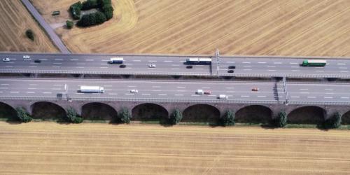
- Impressions of Jena: Sample quadcopter images of the city
