
Impressions from Jena
Thanks to municipal contracts, e.g. in the surveying sector, beautiful by-products such as these pictures are often created. We would like to share these with the public.
You will find three picture galleries here. One with oblique views, one with NADIR and one with panoramic views.
NADIR images are images that were taken exactly at a vertical 90° angle. The camera is in the zenith, the object in the NADIR.
Oblique view images
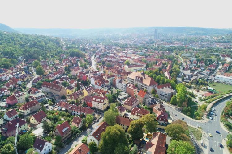
Blick von Wenigenjena bis ins Stadtzentrum
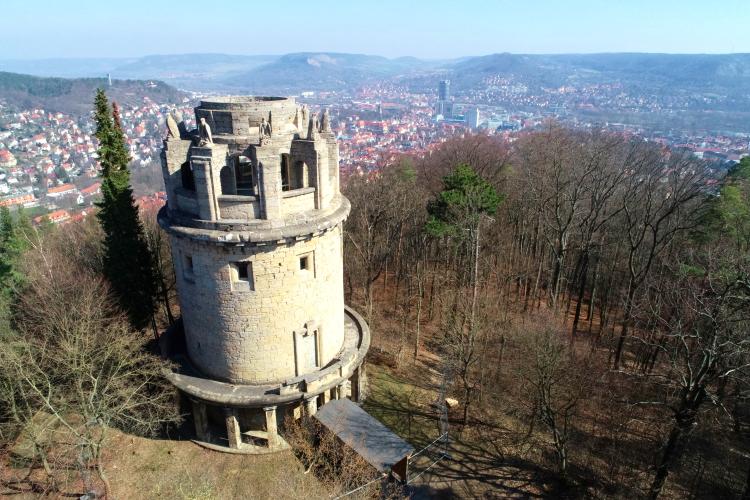
© Team Geoinformation, Stadt Jena
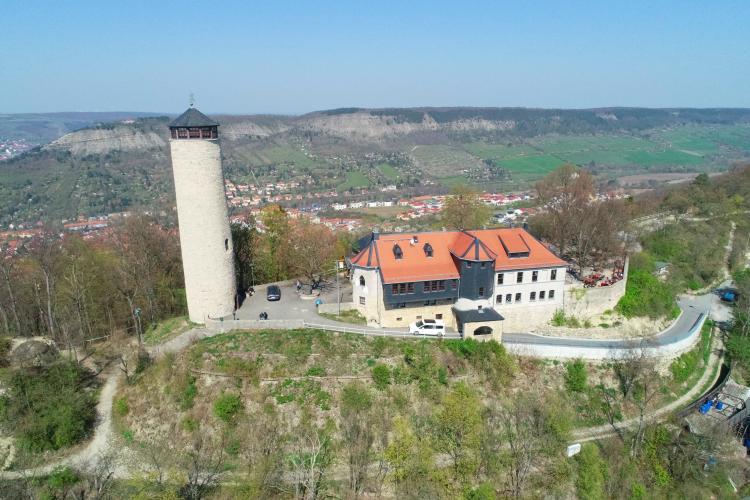
Fuchsturm Jena
© Team Geoinformation, Stadt Jena
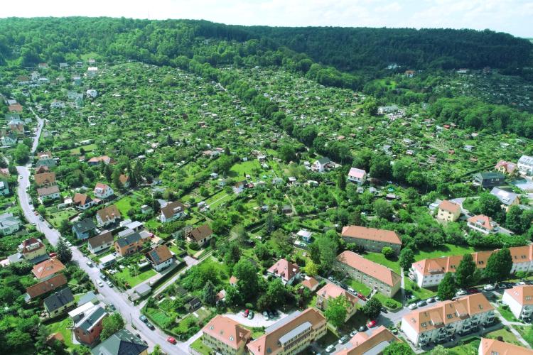
Gärten in Jena Süd
© Team Geoinformation, Stadt Jena
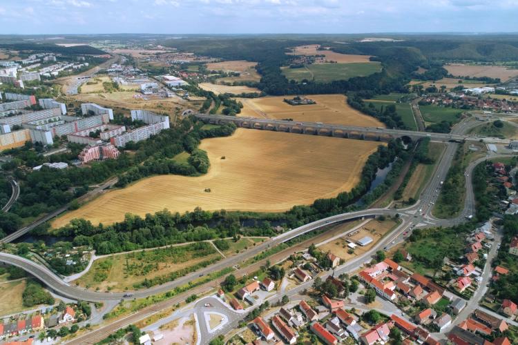
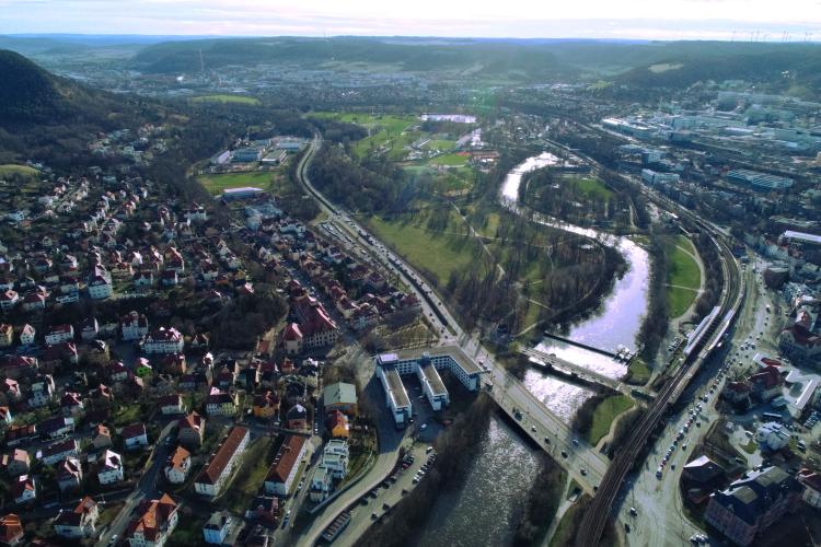
Die Autobahnbrücke in Jena
© Team Geoinformation, Stadt Jena
Bismarckturm Jena
© Team Geoinforamtion, Stadt Jena
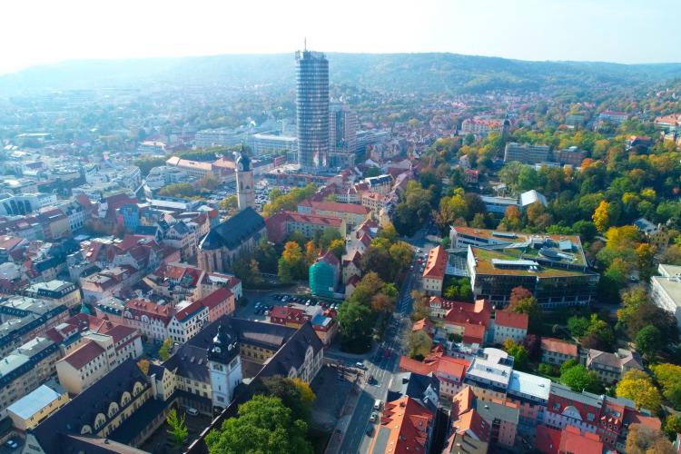
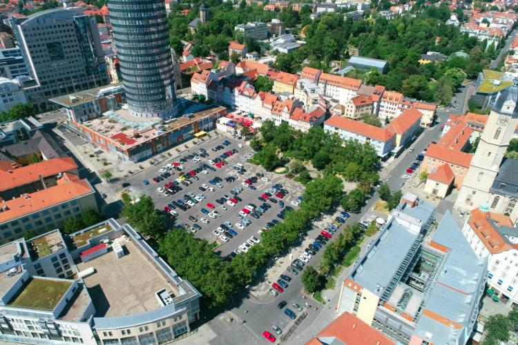
Das Jenaer Zentrum
© Team Geoinformation, Stadt Jena
Saale und Paradiespark
© Team Geoinformation, Stadt Jena
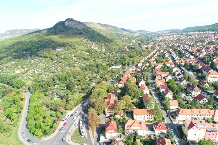
Blick über Wenigenjena und den Jenzig
© Team Geoinformation, Stadt Jena
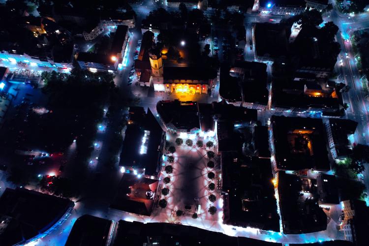
Der Marktplatz bei Nacht
© Team Geoinformation, Stadt Jena
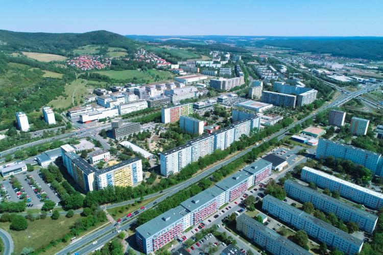
Lobeda Ost mit dem UKJ im Hintergrund
© Team Geoinformation, Stadt Jena
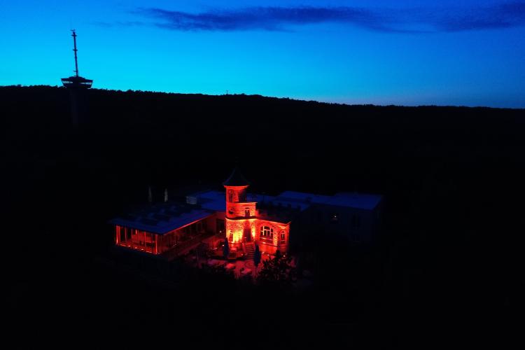
Der Landgraf bei Nacht
© Team Geoinformation, Stadt Jena
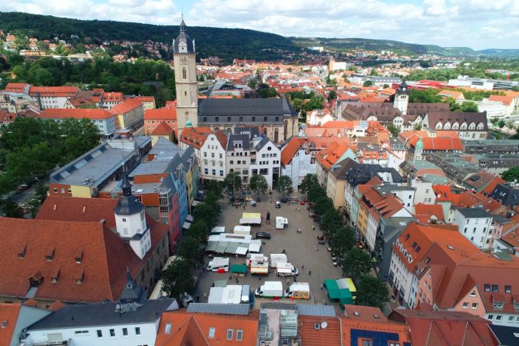
Der Marktplatz bei Tageslicht
© Team Geoinformation, Stadt Jena

Blick über Jena Süd bis nach Winzerla
© Team Geoinformation, Stadt Jena
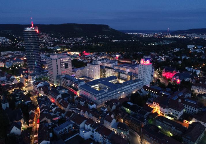
Der Jentower und der FSU Campus kurz nach der Dämmerung
© Team Geoinformation, Stadt Jena
Der Eichplatz, mit der Neuen Mitte im Hintergund
© Team Geoinformation, Stadt Jena
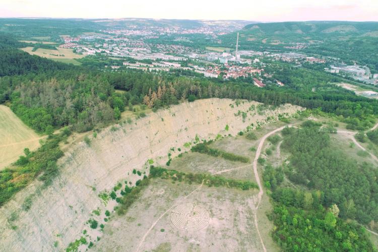
Der Steinbruch bei Göschwitz; im Hintergrund Winzerla
© Team Geoinformation, Stadt Jena
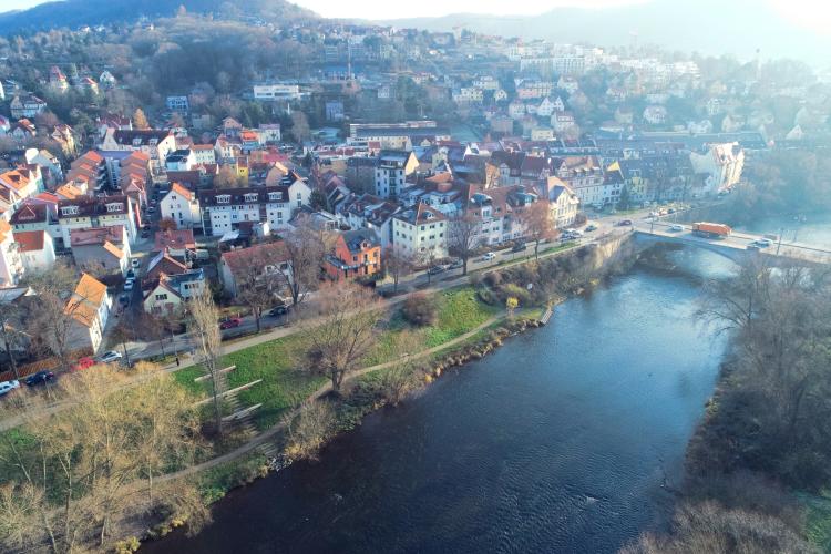
Blick auf das Wenigenjenaer Ufer
© Team Geoinformation, Stadt Jena


NADIR recordings
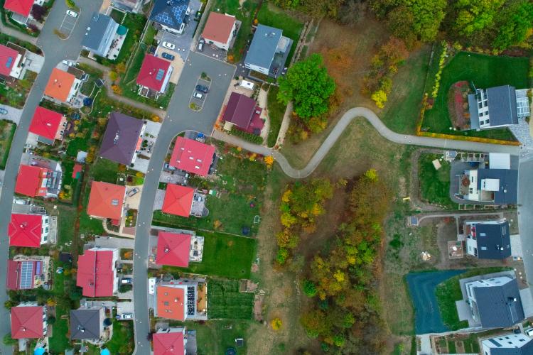
In den Fuchslöchern 1
© Team Geoinformation, Stadt Jena

In den Fuchslöchern 2
© Team Geoinformation, Stadt Jena
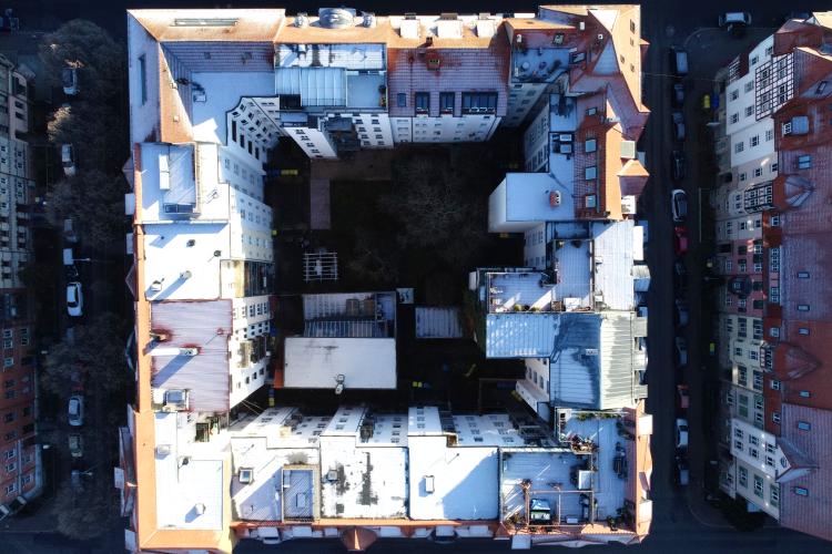
Ein Wohnblock in Jenas Damenviertel
© Team Geoinformation Stadt Jena
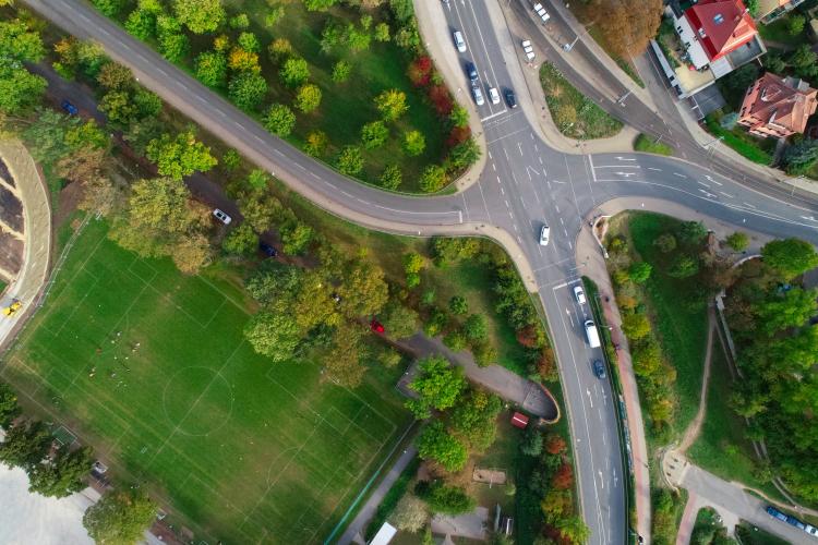
Stadtleben
© Team Geoinformation, Stadt Jena
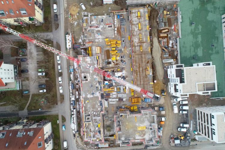
Errichtung von neuen Mehrfamilienhäusern.
© Team Geoinformation, Stadt Jena


Panoramas
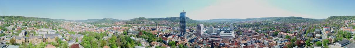
Panorama Bild Jena
© Team Geoinformation, Stadt Jena
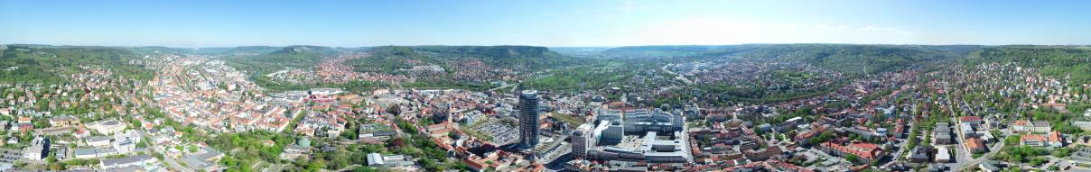
Aus großer Höhe aufgenommene Panorama Übersicht Jena
© Team Geoinformation, Stadt Jena

