Information Systems
You can use the following information systems:
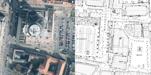
- Map portal Jena: City map & geodata on infrastructure, environment, social affairs, construction measures and much more.
- 3D city model Jena: Viewer of the digital 3D city model (LoD2)
- Geoproxy Thuringia: Central component for the storage and provision of geodata of the Free State of Thuringia
- Bodenrichtwerte Deutschland (BORIS-D): Joint web portal of several federal states which provides information on the standard land values decided by the expert committees for land values in a uniform, web-based and easily accessible manner for the general public across all states
- Solar calculator for solar systems and photovoltaic systems: Find out in four simple steps whether a solar system is worthwhile for you. Calculate the profitability of photovoltaics, energy storage, solar thermal, ground-mounted systems and subsidies now.
- Maps - Environmental portal: Maps of the Ministry for the Environment, Energy and Nature Conservation
